
Hydrographer
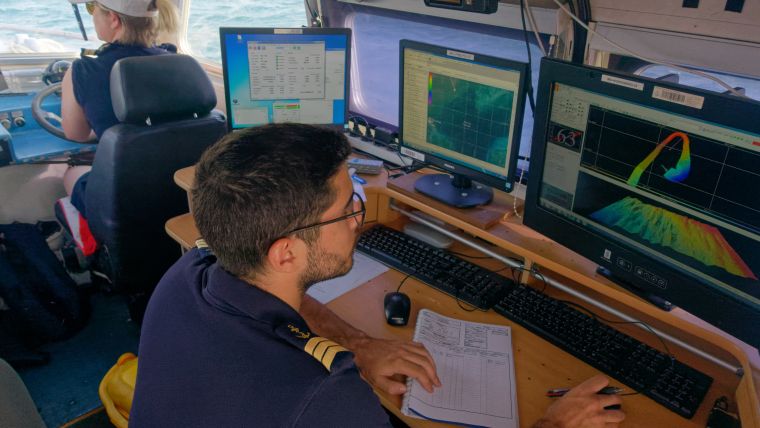
Person who uses remote sensing techniques (images of the Earth provided by satellite) and uses sophisticated electronic instruments to obtain all the information necessary for the preparation of nautical charts (shores, rivers, seabed, tides and currents) and nautical documents and oceanographic. She must also be able to locate the precise position, at sea, of beacons, drilling platforms or other surface elements, and take charge of measurement campaigns at sea (depths, tides, currents, temperatures and degrees of salinity, etc. .).